
Articles
32 articles in five sections. Pick a section, or walk through continental history from the oldest landmass to possible futures.
Continental history
From Nuna, 1550 million years ago, to Laurasia. Ordered by age, and each one opens the map of its time.
- 1550 million years ago
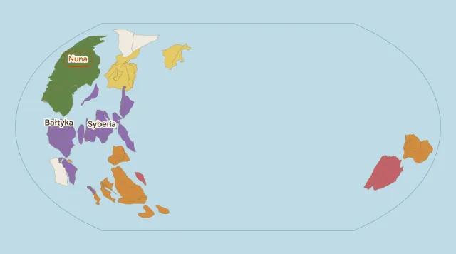 Nuna: a supercontinent older than Rodinia3 min read
- 1000 million years ago
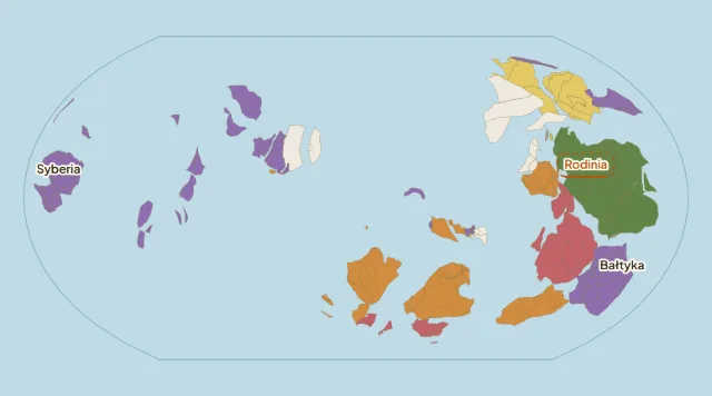 Rodinia: a supercontinent a billion years ago3 min read
- 500 million years ago
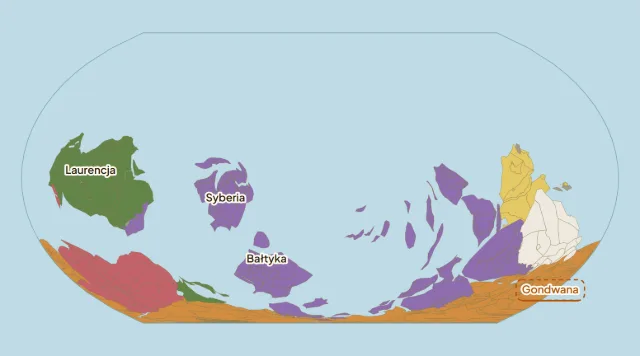 Gondwana: the shared past of southern continents3 min read
- 450 million years ago
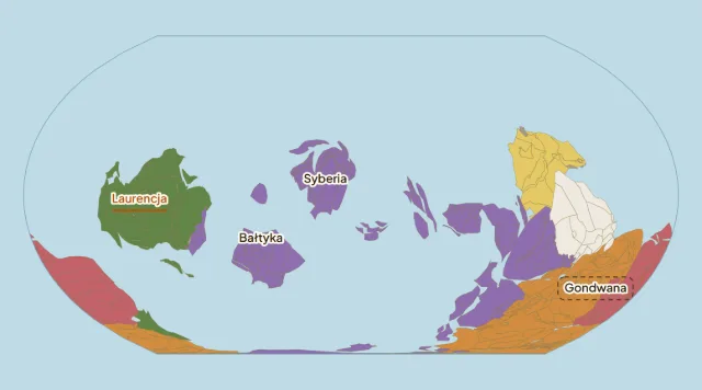 Laurentia: the ancient core of North America2 min read
- 450 million years ago
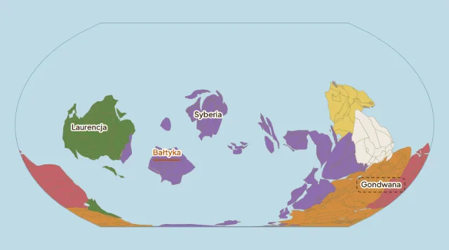 Baltica: an ancient continent beneath Europe2 min read
- 450 million years ago
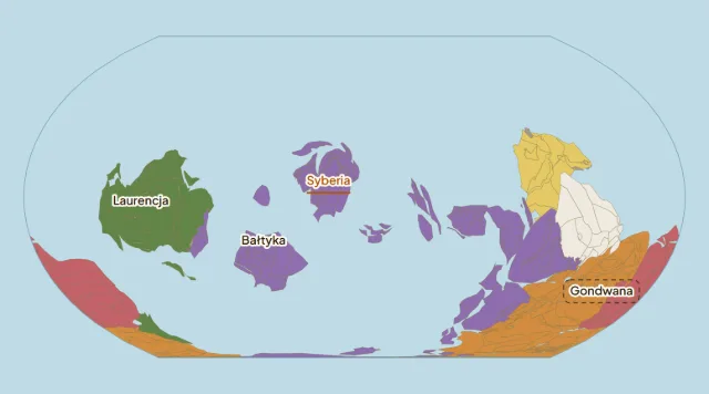 Siberia: a continent before it joined Asia2 min read
- 420 million years ago
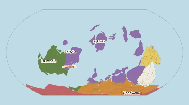 Avalonia: a small landmass between great continents2 min read
- 250 million years ago
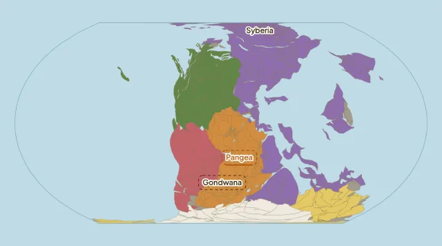 Pangaea: how a supercontinent formed and broke up3 min read
- 180 million years ago
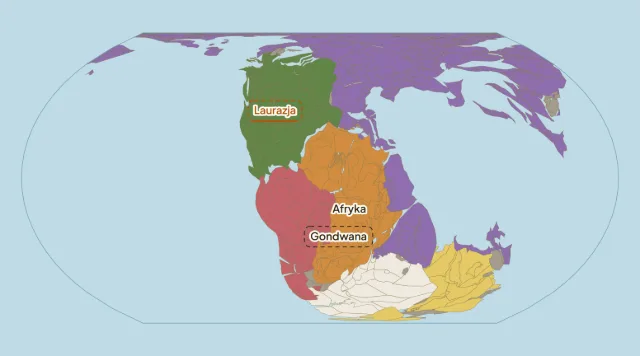 Laurasia: Pangaea's northern continental assembly3 min read
Maps: Cao et al. (2024), CC BY 4.0, simplified.
Possible Earth futures
Research scenarios, not forecasts. Each shows a different possible arrangement of land 200 or 250 million years from now.
- +250million years from nowPangaea Ultima: could the Atlantic close?3 min read
- +200million years from nowNovopangea: a future after the Pacific closes3 min read
- +250million years from nowAurica: two closing oceans and a new one3 min read
- +200million years from nowAmasia: a possible northern supercontinent2 min read
Maps and projections
Why a flat map always distorts something, and how to spot it.
Why all maps of the world lieFind out why a 3D sphere cannot be perfectly projected onto a flat map. An explanation of Gauss's theorem and Mercator's distortions.3 min read
- The UN's new world map: what the Equal Earth resolution really means15 min read
- The Greenland Illusion: Why the icy island is not a continent2 min read
- How Giant is Africa? The shrunken continent2 min read
- Atlas of error: how to read map distortion3 min read
- A world map centered on Australia3 min read
- The Projection War: Mercator vs Gall-Peters and the search for fairness2 min read
Show the rest (7)
- The Equal Earth Projection: A modern answer to map distortion2 min read
- 10 Giant Countries that are actually much smaller3 min read
- The Orange Peel Dilemma: Why flat maps are always a compromise3 min read
- Why do cartographers cut the world like an orange peel?2 min read
- Where is the center of the world? The UN map explained3 min read
- Exotic Projections: Peirce, Berghaus and beyond2 min read
- Should Google Maps Use a 3D Globe? Evolution of web maps2 min read
Time and measuring Earth
How we measure our planet's rotation and shape.