
All challengesTraining run
A quiz on the true scale of rivers

Rivers of the world

Live score0/10

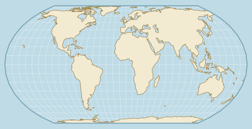
Maps distort not only areas but lengths too. Guess which river is longer when both lie on a Mercator map, and where a river would end if it started in your city.

Answer 10 questions. After each answer you will see the rivers straightened at one scale or the river moved on the globe. Lengths come from the Encyclopædia Britannica table.

Explore the longest rivers first

Rivers of the world: frequently asked questions

Can a shorter river look longer on a Mercator map?

Yes. Example: Nile: 6,650 km, Yenisei: 5,540 km. On a Mercator map they look different: Nile about 7,000 km, Yenisei about 10,700 km, so the order flips. The quiz is built on such traps, and the answer shows the rivers straightened at one scale.

Where do the river lengths come from, and why do some have a range?

The lengths come from the Encyclopædia Britannica table and run to the most distant source. Some are disputed and given as a range: Amazon: from 6,400 km to 6,992 km and Mekong: from 4,350 km to 4,900 km. The quiz does not ask about pairs whose order such a range leaves undecided.

How does the question about moving a river's source to a city work?

We move the river's source to the chosen city with a rigid rotation: the river keeps its shape and length, and north stays up. The correct answer is the named place nearest to where the moved mouth lands, within 700 km of it. A round has 10 questions, alternating between length and moving the river.